Here you will find answers to frequently asked questions about the program “Wien gibt Raum” as well as about the surveying campaign of the public space by the city of Vienna.
Do the recordings violate my privacy?
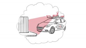
No. Respect for individual privacy is just as crucial to the City of Vienna as it is to you. Therefore the images recorded are governed by the strict Austrian privacy regulations and registered with the official data protection authority. For example, all individuals pictured are completely anonymised, and car license plate numbers are pixelated. Moreover, the cameras do not record anything a tall person would not see with the naked eye.
Why is the City of Vienna taking photos of its urban area?
The images are needed for a software that enables the City of Vienna to make administrating and using public space simpler for everyone – both businesses and the local population. In future, you can simply send an online application if you are planning to hold an event in public space, e.g. a neighbourhood get-together, or if you want to make structural changes that impact public space, such as setting up an outdoor seating area for a cafe or restaurant. Based on the images, the responsible departments can find out about details like pavement width etc. without having to send staff to inspect the site.
Who exactly is behind the camera cars on the streets of Vienna?
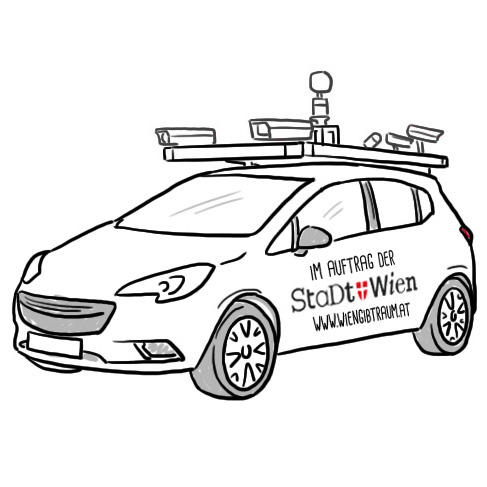
The City of Vienna has commissioned a specialised surveying company that records highly detailed images of public space. The images as such remain the property of the City of Vienna. The cars recording the images are not related to any similar initiatives implemented by private companies.
Who gets to see the images?
While the images are recorded, they are only accessible to the staff of the surveying company tasked with collecting and anonymising the image data. After that the anonymised image data are disclosed exclusively to staff members of the municipal departments in charge of public space management. During the second phase, a decision is taken about whether the anonymised images will also be available to the public as open data.
Will the image data be made available to the public (“open data”)?
In the first project phase, the images are only collected for internal use by the Vienna City Administration. In the second phase, a decision is taken about whether and/or in what form the anonymised images will be publicly available as open data.
Does the project have anything to do with Google Street View?
No, the project “Wien gibt Raum” is in no way related to Google Street View or any other application by private companies.
Why doesn’t the City of Vienna just use Google Street View?
The City of Vienna needs high-resolution images, i.e. very detailed data that can be used for measuring objects and distances. What is more, Vienna’s entire public space must be recorded for the project, and new images are needed at regular intervals to make sure the data is always up to date. This is why the City of Vienna has organised its own vehicle-based surveying projects.
Isn’t this extremely expensive?
Isn’t this extremely expensive?Of course, vehicle-based surveying with camera cars causes certain costs. With its project Wien gibt Raum, however, the City of Vienna follows well-founded advice, notably a recommendation by the Court of Audit to record all road signs and floor markings in the city. The project also ensures that the image data can be used by many different departments of the Vienna City Administration, reducing the need for time-intensive and costly on-site inspections. Wien gibt Raum is also meant to ensure everyone who uses public space in Vienna contributes a fair share to the public good by paying the statutory fees.
Where can I get further information?
If you have any further questions about the project that are not answered on the website, please feel free to contact the City Information Centre by phone (01 4000-4001) or send an e-mail to stadtinformation@post.wien.gv.at.

