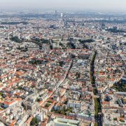
Vienna from above
Digital innovation opens up new perspectives
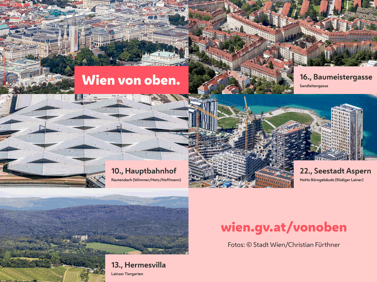
The City of Vienna has launched a new web service with 288 high-resolution aerial photographs of various parts of Vienna. Sights, landmarks, signature housing estates, old and new neighbourhoods as well as urban development areas are shown in high-quality oblique aerial photographs recorded in the past two years. They were originally commissioned for documentation purposes by the Department for Urban Development and Planning (MA 18) of the Vienna City Administration, and provide a valuable decision-making basis for the city’s urban planning experts. A new web service implemented by the online team of the City of Vienna Press and Information Service (MA 53) has now made the photos accessible to the general public, opening up new perspectives for everyone interested.
Digital innovation benefits everyone
The web service uses photos originally recorded for the Vienna City Administration to provide a unique opportunity for everyone who wants to see Vienna from above. If you love Vienna you can now zoom in on Vienna City Hall or the historic city centre, key developments like the Alt-Erlaa housing estate or the city’s new development hotspots – anytime, and from anywhere in the world. The entire web service is also available in English, including a keyword search feature and an overview of the photos by municipal district. The high-resolution photos can be downloaded free of charge, and the content has been pre-checked for data protection issues. Journalists may use the images with a copyright notice acknowledging the original owner.


